Google Pulls Google Earth AI Image Generator After Fake Disaster Images Spark Backlash
 Written by
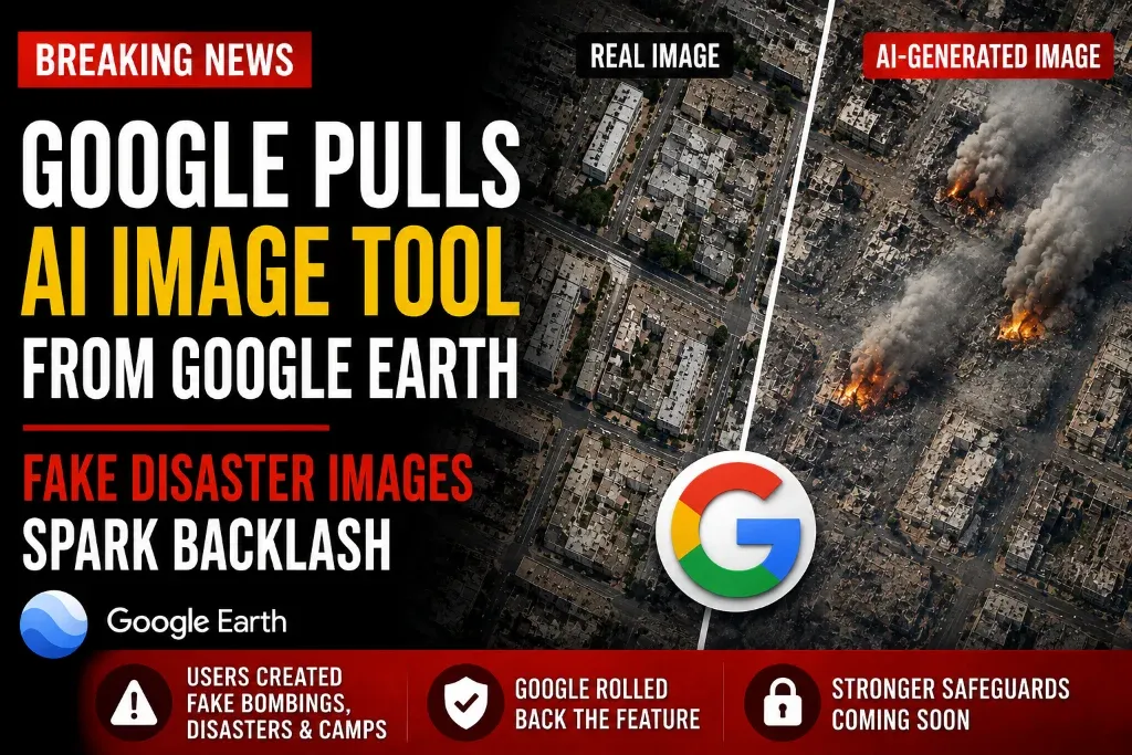
The experimental feature lasted less than a day after users showed how it could create convincing images of fictional attacks, disasters and humanitarian crises.
Google gave users an AI-powered way to transform real-world imagery—and the experiment was pulled almost as quickly as it arrived.
The company temporarily rolled back a new image-generation feature in Google Earth less than 24 hours after its launch. The tool allowed users to create photorealistic scenes based on Google Earth’s satellite, aerial and 3D mapping data by entering written prompts.
Google said it withdrew the feature after discovering that some generated images violated its policies, although the company did not publicly identify every image or prompt responsible for the decision. The company said it plans to introduce stronger safeguards before potentially making the feature available again, according to Reuters.
Users Demonstrated How the Tool Could Create Fake Crises
Shortly after the feature became available, researchers and other users began sharing examples showing how it could produce fictional scenes connected to recognizable real-world locations.
Reported demonstrations included fabricated refugee camps, simulated conflict damage, artificial flooding and a fictional nuclear facility. Some users also created scenes resembling attacks or explosions, raising concerns that the images could be separated from their original context and presented online as genuine evidence.
The Verge reported that the feature was removed after users demonstrated its ability to produce misleading images involving sensitive locations and events.
In other words, the tool was designed to visualize imaginary changes—but it could also make fictional disasters look uncomfortably real.
The Images Were Not Added to Google Earth’s Public Maps
Google emphasized that the generated pictures did not replace or alter the authentic imagery displayed in the core public Google Earth experience.
The company also said the AI-created images contained digital watermarking designed to identify them as generated content. However, researchers warned that screenshots could still be cropped, reposted or shared without the original explanation that they were artificial.
That distinction matters because satellite-style imagery is commonly used by journalists, researchers and open-source investigators when attempting to verify military activity, natural disasters and damage to important infrastructure.
Google Says Stronger Protections Are Coming
The feature was powered by Google’s Nano Banana 2 image-generation model. It initially attracted interest from geospatial professionals who saw potential uses in planning, design and visualization.
Those possible benefits were quickly overshadowed by concerns about misinformation and the creation of deceptive images involving real places.
Google described the rollback as temporary and said it was working to add stronger protections. The company has not announced exactly when—or whether—the feature will return in the same form.
The Bottom Line
Google Earth’s AI image tool may have offered legitimate creative and professional uses, but its brief launch demonstrated how easily generative technology can blur the line between a visualization and supposed photographic evidence.
The feature arrived with big possibilities, triggered immediate controversy and disappeared before it had even completed its first full day online.
Comments
No comments yet. Be the first to comment!
Leave a Comment